Tag: Mapping
-
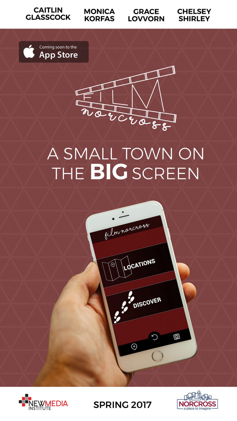
Film Norcross
How do you get a small town on the big screen? Easy, right? Atlanta, Georgia has the third largest film industry in the country. As a result of this fast-paced growth, the industry now stretches beyond the Atlanta perimeter and into the area’s booming suburbs. The quaint suburb of Norcross is located just 20 miles…
-
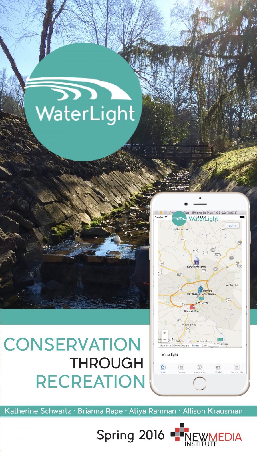
Waterlight
Why does maintaining a clean watershed matter? Well, water running through the University of Georgia’s watersheds flow into the lakes and rivers which you kayak, hike and swim in. We are WaterLight, a web-based application whose goal is providing easy access to recreational opportunities in bodies of water connected to those watersheds. The four watersheds…
-
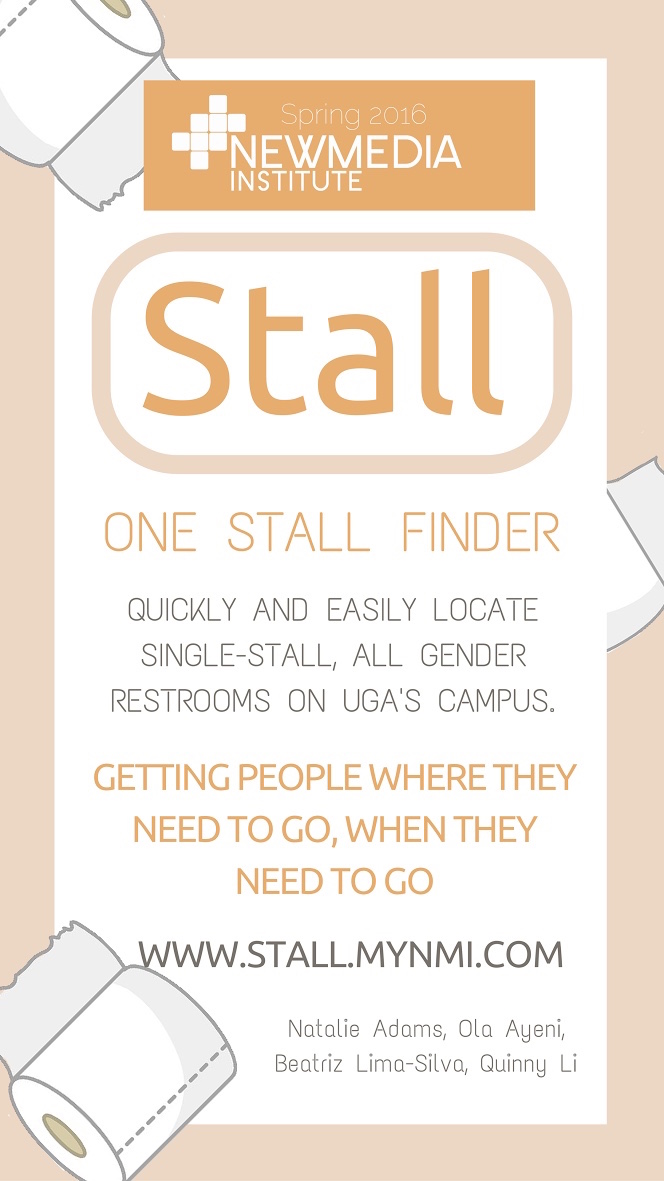
Stall
Transgender rights have been saturating our media and mouths lately, with the masses unfortunately disagreeing on where individuals who identify as all-gendered or transgender should use the restroom. But the fact of the matter is, everyone has to go. So our team ventured out to create a platform that would both get individuals where…
-
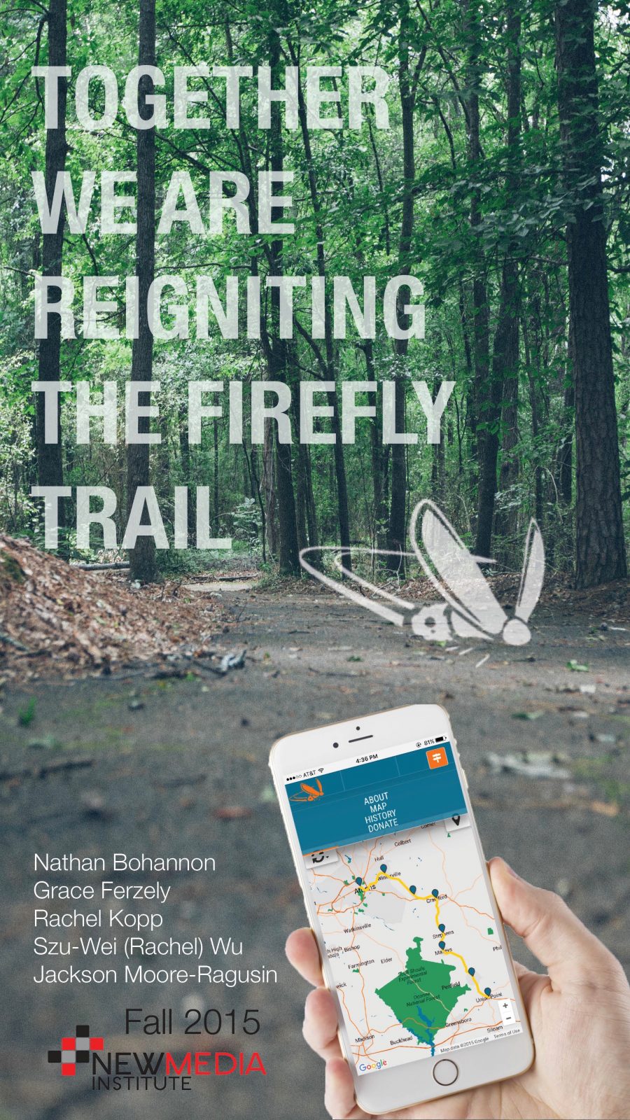
Firefly Trail
Building Our Trail, Connecting Our Communities Wouldn’t it be great if you could hop on your bike in Athens and ride for miles without having to worry about traffic? We think so, too. That’s why we’re stoked about The Firefly Trail, a developing greenway in our own backyard. More than just a trail, Firefly is…
-
TrailGuard
Trail Guard allows hikers to travel with greater peace of mind knowing that their safety is being monitored through an interactive application designed to respond to hikers in need. The search and rescue system gives hikers the option to check in before they begin their hike to ensure their safety and improve their hiking experience.…
-
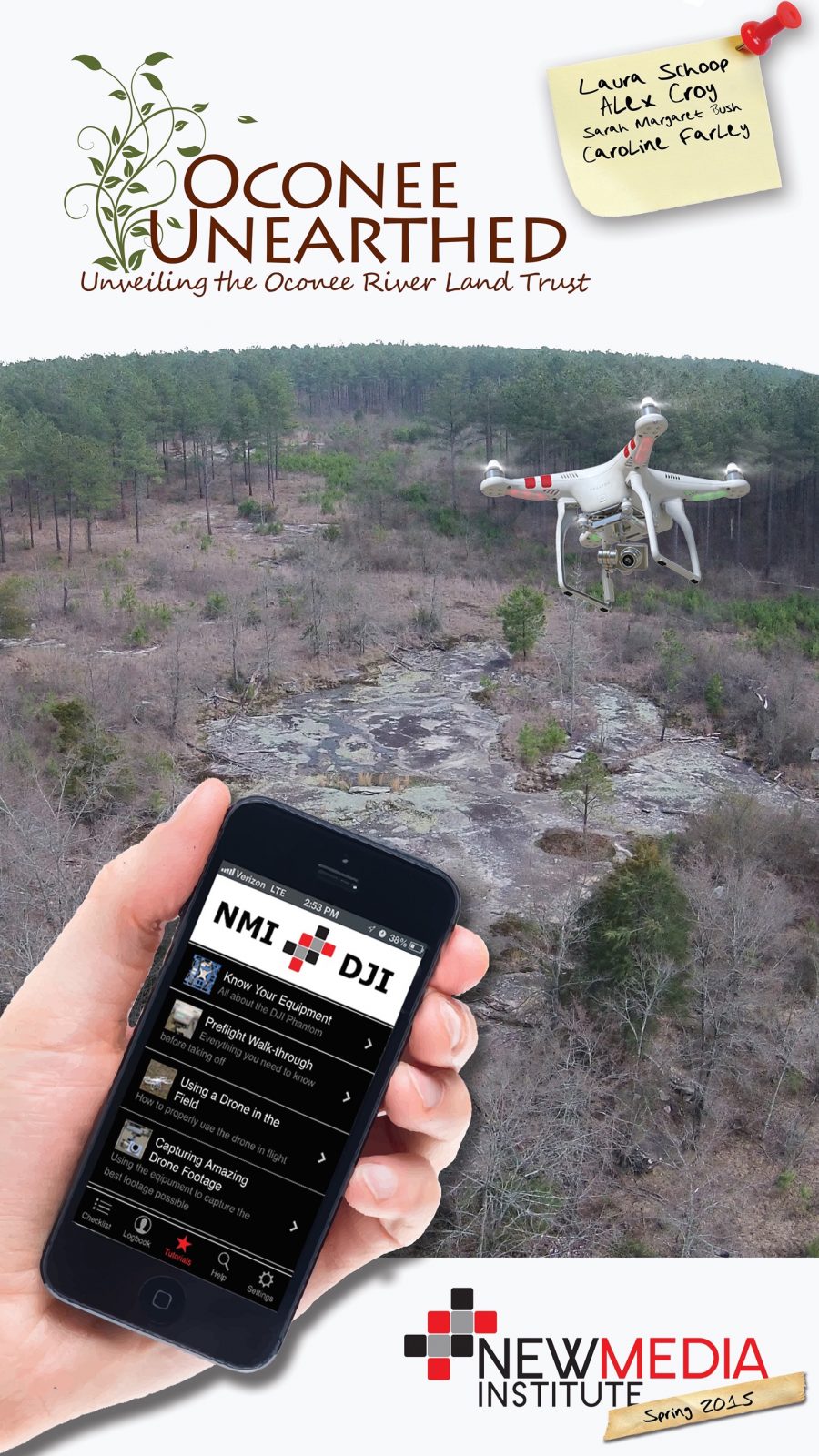
Oconee Unearthed
The primary focus of Oconee Unearthed is to map out environmentally significant landmarks on ORLT properties. To achieve this in the most polished manner, we utilized Google Fusion Tables to create a responsive, interactive map complete with drone photos. The secondary purpose is to inform and educate the public as to WHY conserving these lands…
-
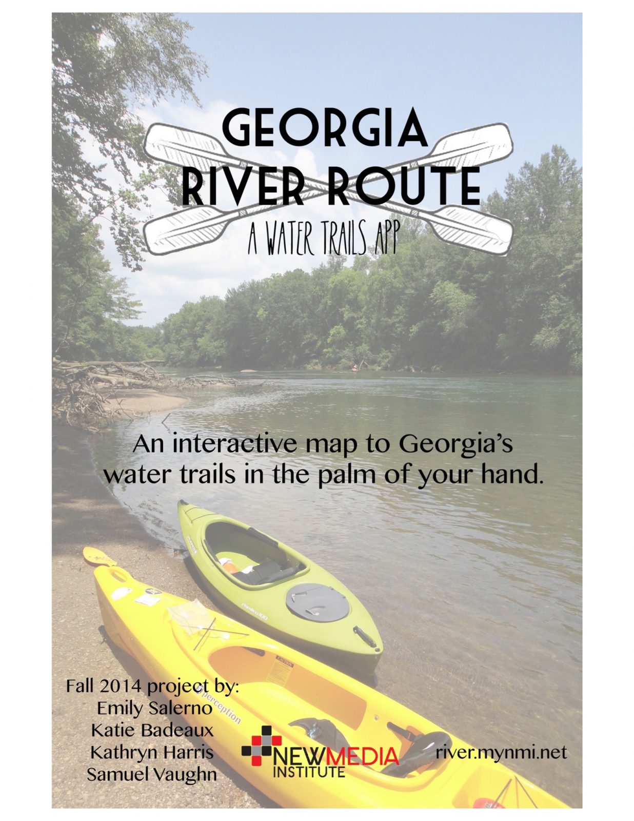
Georgia River Route
If you’re planning a trip along a Georgia Water Trail, getting all the information you need can be a daunting task. Georgia River Route is a tool to help users prepare to enjoy Georgia’s rivers by providing valuable information such as access points, campgrounds and outfitters near their recreation destinations. Working with the Georgia River…
-
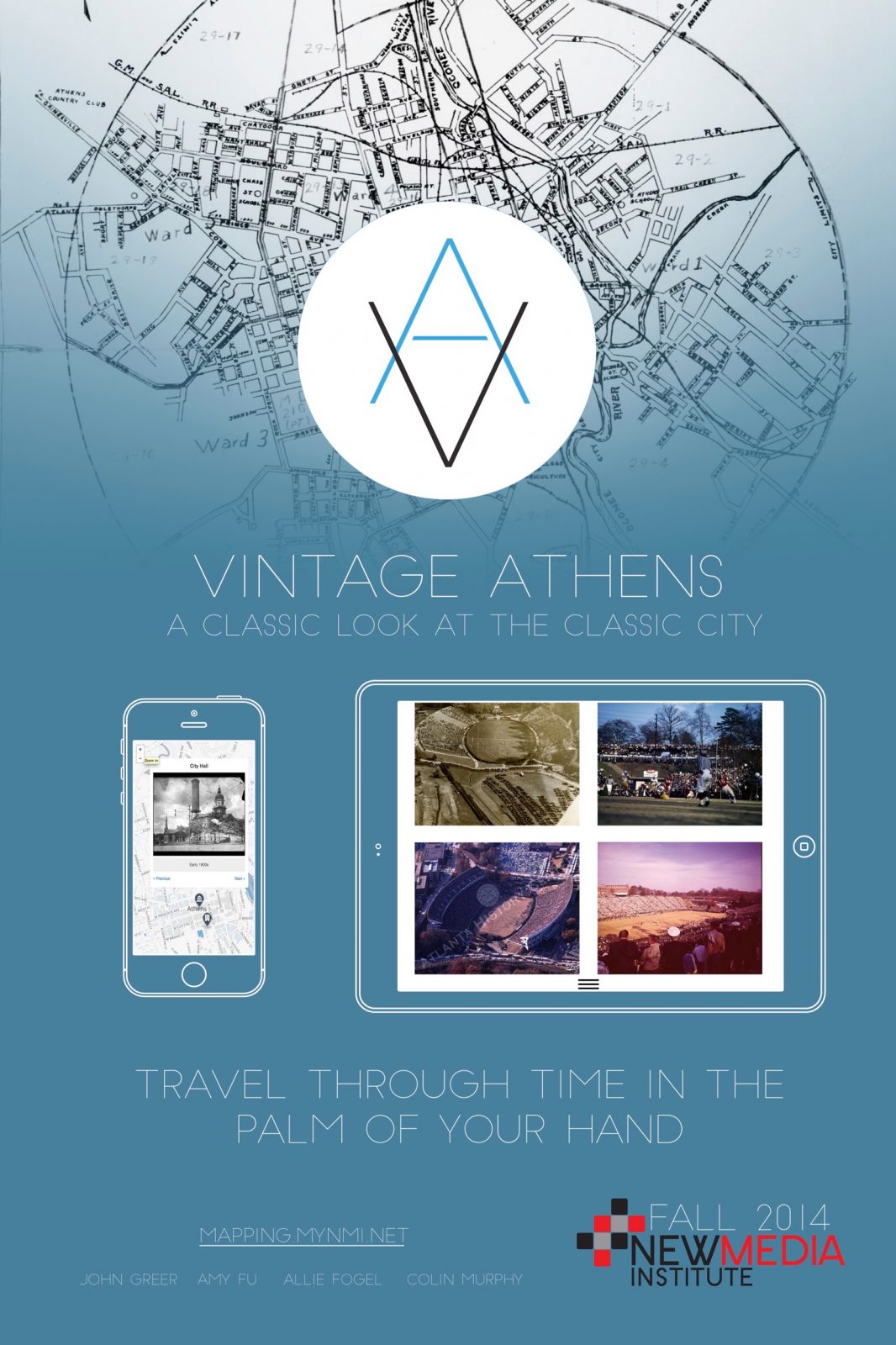
Vintage Athens
The city of Athens, GA is well-known for several things: The University of Georgia, the football played in Sanford Stadium, the music scene, even just the college town feel of so many local businesses. In Athens, there is an intrinsic feeling of pride when one can take part in supporting a local business, seeing local…
-

DTAth
The app is DTAth. The place is Athens. The purpose is to explore the city in a whole new way! Our goal was to create an app that will become an integral part of downtown Athens. By including a comprehensive guide to the downtown businesses, we hope to create an app that that acts as…
-
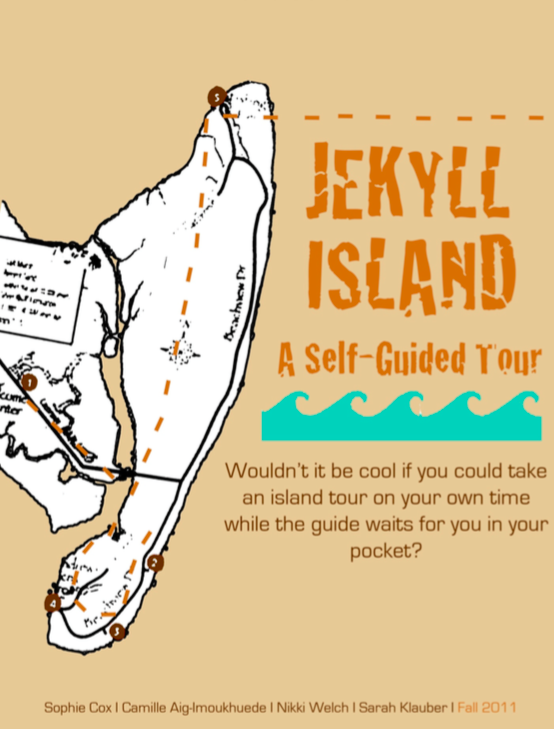
JekyllTour
JekyllTour is a new interactive app that provides users with an enhanced vacation experience through guided tours and island information. A few years ago, the Georgia Sea Grant produced an audio walking tour that contained information about the ecological processes, animals, and plants of Jekyll Island in the form of a compact disc. Newer technology,…
