Tag: Mapping
-
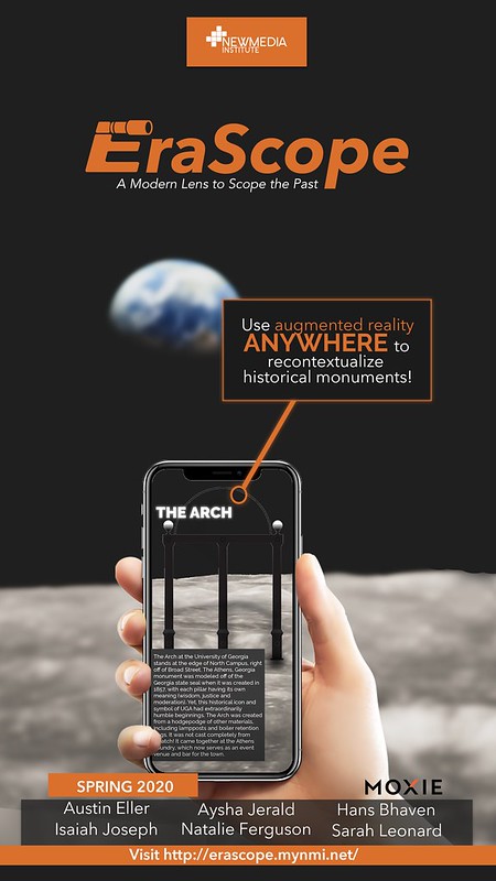
EraScope
EraScope is a prototype application that aims to re-contextualize history using augmented reality. The application, made in collaboration with Atlanta-based Marketing firm Moxie, allows the user to experience the unknown history of everyday locations or monuments in a visually interesting way. Using the augmented reality functionality, the user has two ways to experience the history…
-
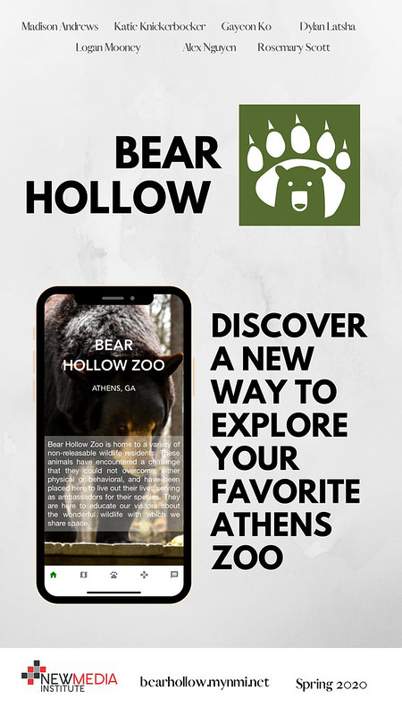
Bear Hollow
We have been working to develop a cross platform app for our client, the Bear Hollow Zoo here in Athens, Georgia. They are home to only non-releasable native wildlife; all the animals in the zoo have either physical or mental handicaps which prevent them from ever returning to the wild. The zoo uses the animals…
-
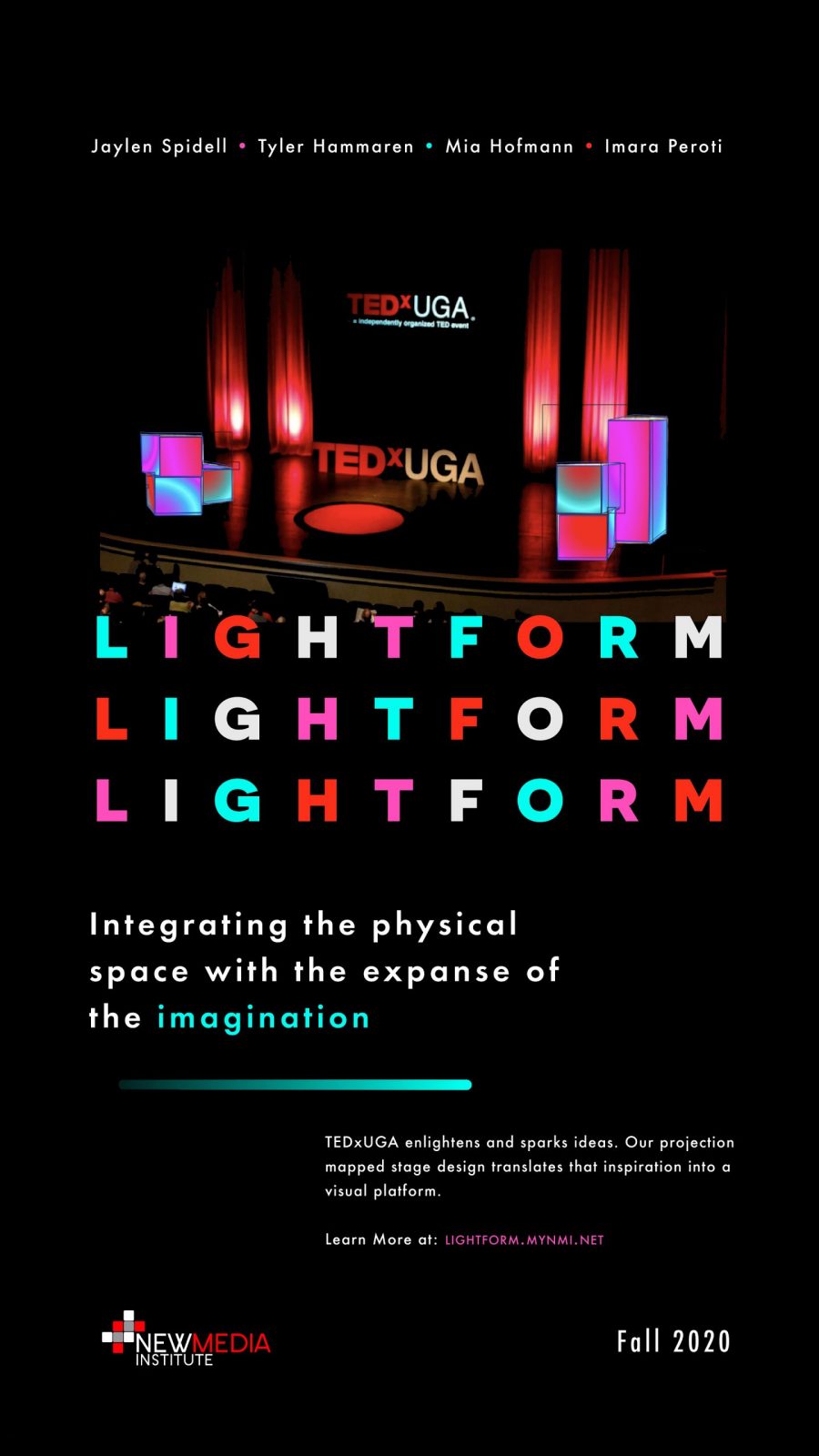
Lightform
Our team is organizing a projection-mapped stage design for the fall semester 2020 TEDxUGA event. Fitting with the event’s theme, Next Level, TEDxUGA is pushing the boundaries of stage design with the introduction of Lightform: a newly released projection mapping design software. Lightform creates illuminated augmented reality light projections that leave the audience with an…
-
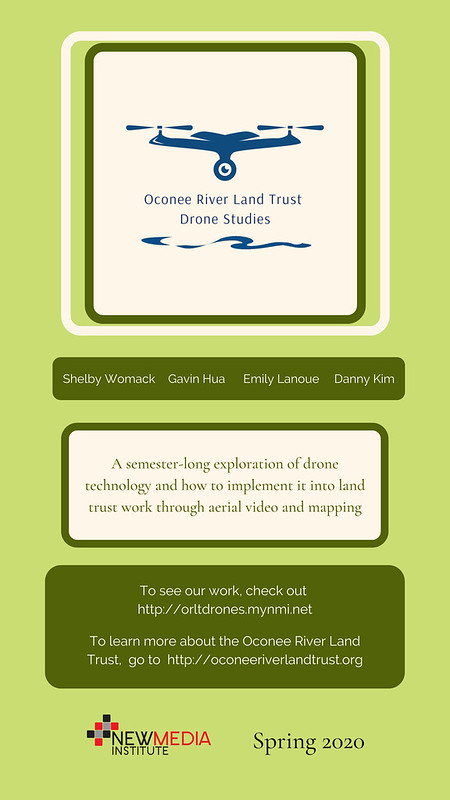
ORLT Drone Studies
Typical methods of gathering physical, on-site information for the sake of monitoring environmental conservation can be both tedious and time-consuming. By exploring the usage of drones, the ORLT Drone Studies Team aims to both streamline and enhance the process of gathering this data. In addition, the data gathered through drones can be used to enhance…
-
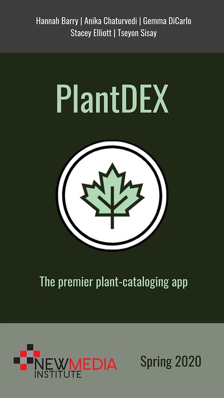
PlantDEX
PlantDEX is a streamlined mobile app that allows field researchers to quickly and easily catalog plant data. The app is meant to help GIS technicians, forestry workers, ecological researchers, and other professionals who frequently collect and analyze botanical data in the field. PlantDEX suits these professionals’ needs in three key ways: first, each entry is…
-
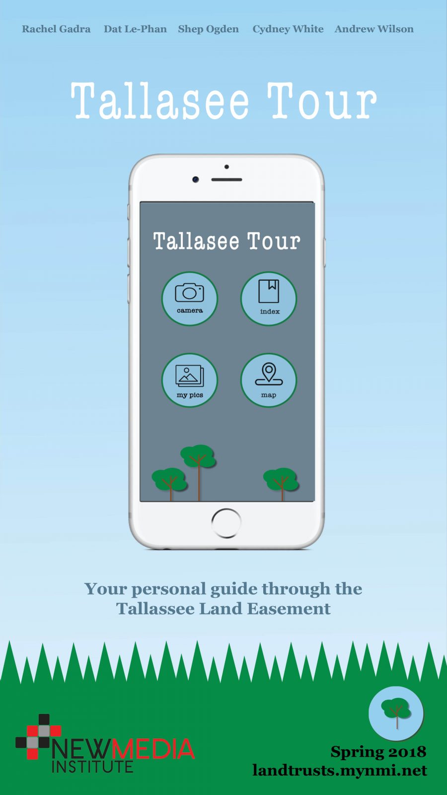
Land Trust
Combining the best of emerging mapping technology and conservation efforts, the Land Trust Team is proud to introduce the Tallassee Tour Guide, an interactive gaming app that guides users through the wilderness of the Tallassee Land Easement. On behalf of the Oconee River Land Trust, the goal of this project is to educate local students…
-
PlannAR
PlannAR is a mixed-reality application developed for the Microsoft Hololens that allows event planners to streamline their projects. By utilizing the Hololens’ spatial mapping technology, users can track their immediate environment and superimpose virtual elements into real spaces. By placing elements like furniture and decorations into the space, event planners can go beyond traditional sketches…
-

pAR
pAR is an augmented reality app that puts the University of Georgia Golf Course right in front of you. The app places a virtual representation of each hole on the UGA Golf Course in the user’s immediate environment with information about the hole and a bird’s eye view of the entire hole. Whether you are…
-
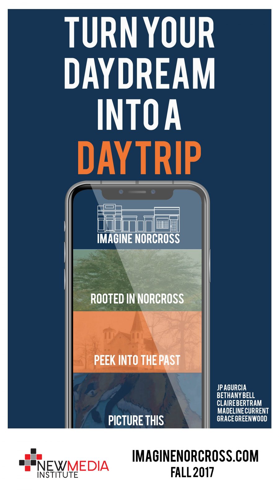
Imagine Norcross
Imagine Norcross is a web-based application designed to offer an engaging, meaningful, digital experience to highlight one of Georgia’s most charming cities ultimately driving in-person visits and experiences. With features like walking audio tours, an interactive map of local historical markers, information about local art installations and galleries, and a calendar of events; the Imagine…
-
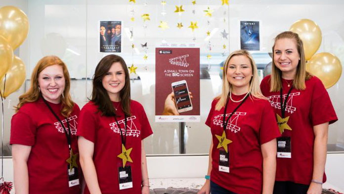
Film Norcross Hits the App Store
Our students invest a lot of time and effort into their Capstone projects, and we love when that dedication can benefit Georgia’s organizations and communities. This past Spring, one of our teams was tasked with creating a native iOS app to highlight Norcross, Georgia as a prominent location for the film industry. Caitlyn Glasscock, Monica…
