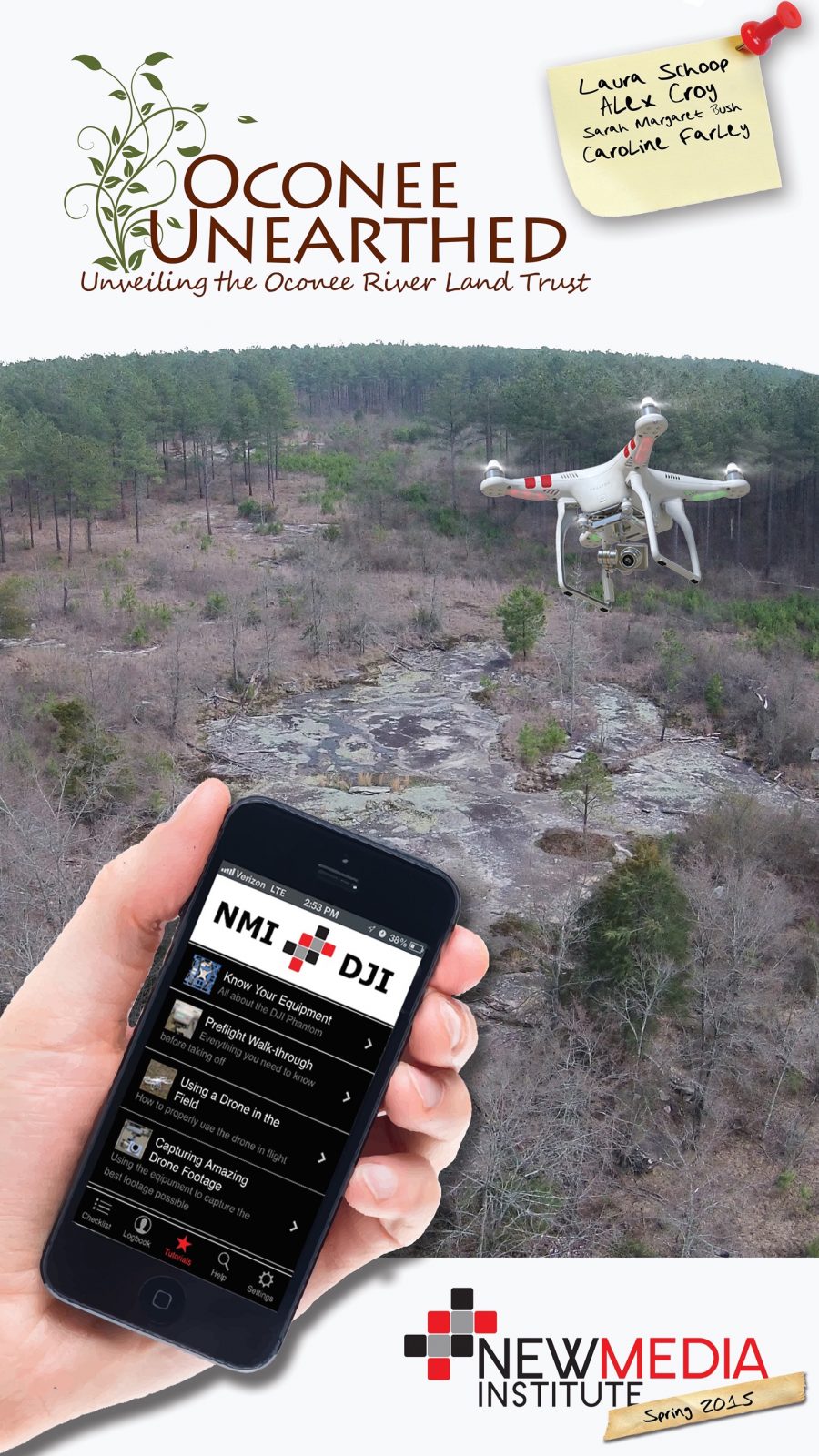
Oconee Unearthed
The primary focus of Oconee Unearthed is to map out environmentally significant landmarks on ORLT properties. To achieve this in the most polished manner, we utilized Google Fusion Tables to create a responsive, interactive map complete with drone photos. The secondary purpose is to inform and educate the public as to WHY conserving these lands is significant, and a cause worth supporting.
An app format would not lend itself particularly well to this project, so we created a website with the primary focus on a Google Fusion Table. Our map contains the drone photos we captured, as well as their latitude and longitude coordinates. For the purposes of our project, we visited two of the ORLT’s properties: one in Oglethorpe County and one here in Athens. These two properties differ in their purposes. The ORLT places more focus on conservation for the Oglethorpe land. This is the property on which we searched for granite outcrops. These outcrops are home to several species of microorganisms which the ORLT aims to protect and conserve. Meanwhile, the Tallassee land is currently under observation for the possibility of adding running and hiking trails and opening to the public. These photos are much more for promotional use, to aid in gaining the necessary grants to make this project happen and to show the public the possibilities!

